El Niño is ushering in a mild winter but it could be a disaster Canada and U.S.
The global climate pattern known as El Niño is making its long-awaited comeback after a nearly eight-year hiatus and it's going to have a big impact on winter in North America. Here’s how Canada and the United States will be affected.
If you’ve never heard of El Niño, that’s okay. It’s quite easy to understand. El Niño is just the name given to a set of regularly occurring climate conditions that can have a profound impact on the weather in North America.
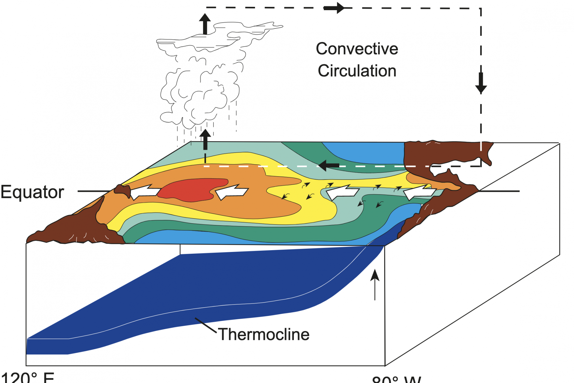
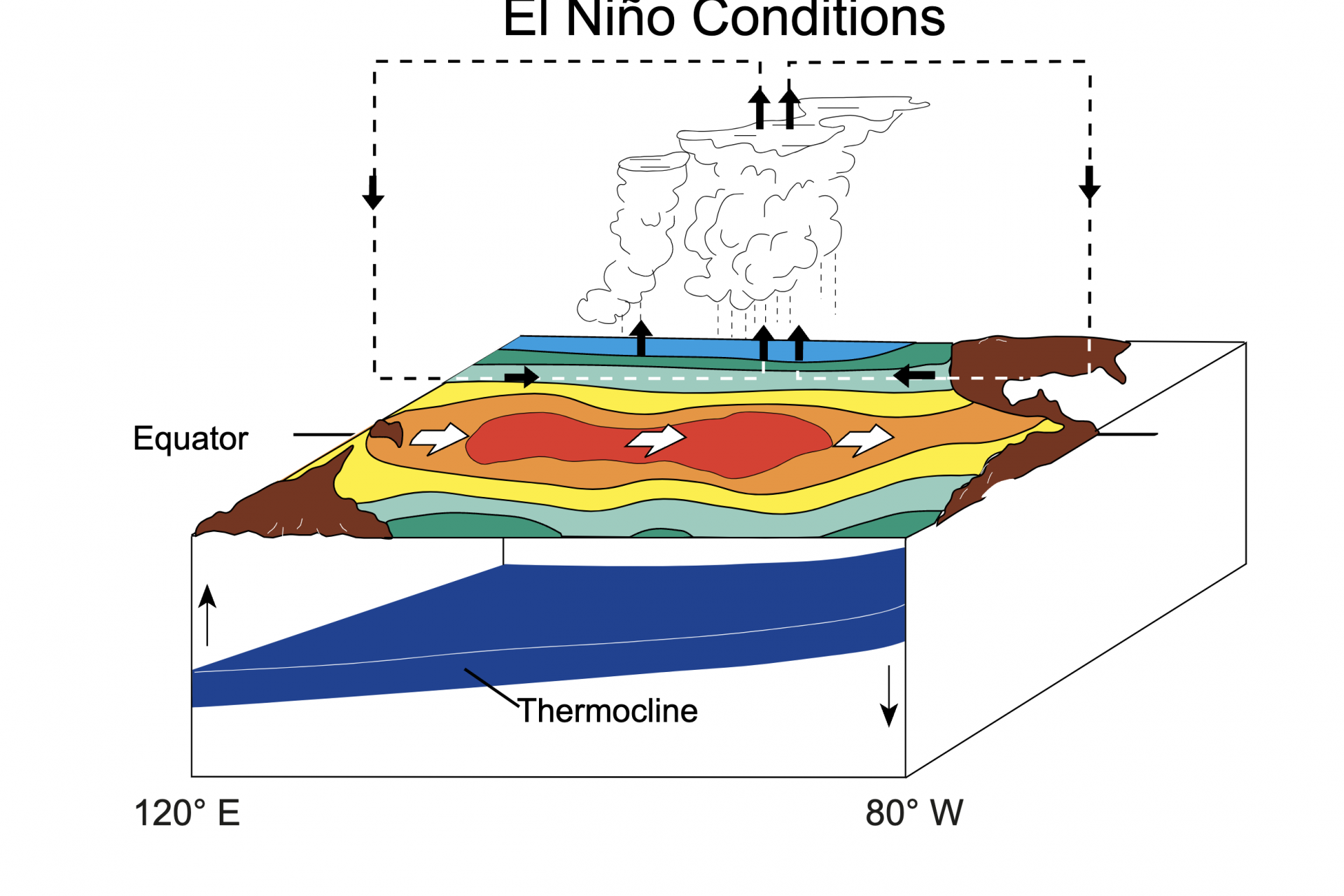
During normal climate conditions in the Pacific Ocean, the trade winds blow west along the equator and carry warm water from South America toward Asia. That warmer water is replaced with colder water according to the National Ocean Service.
The process is known as upwelling and it is what governs normal weather conditions in North America. However, during an El Niño event, regular weather patterns are thrown out the window as oceanic conditions change.
Photo Credit: Wiki Commons By Fred the Oyster - Own work / derived from NOAA/PMEL/TAO diagrams
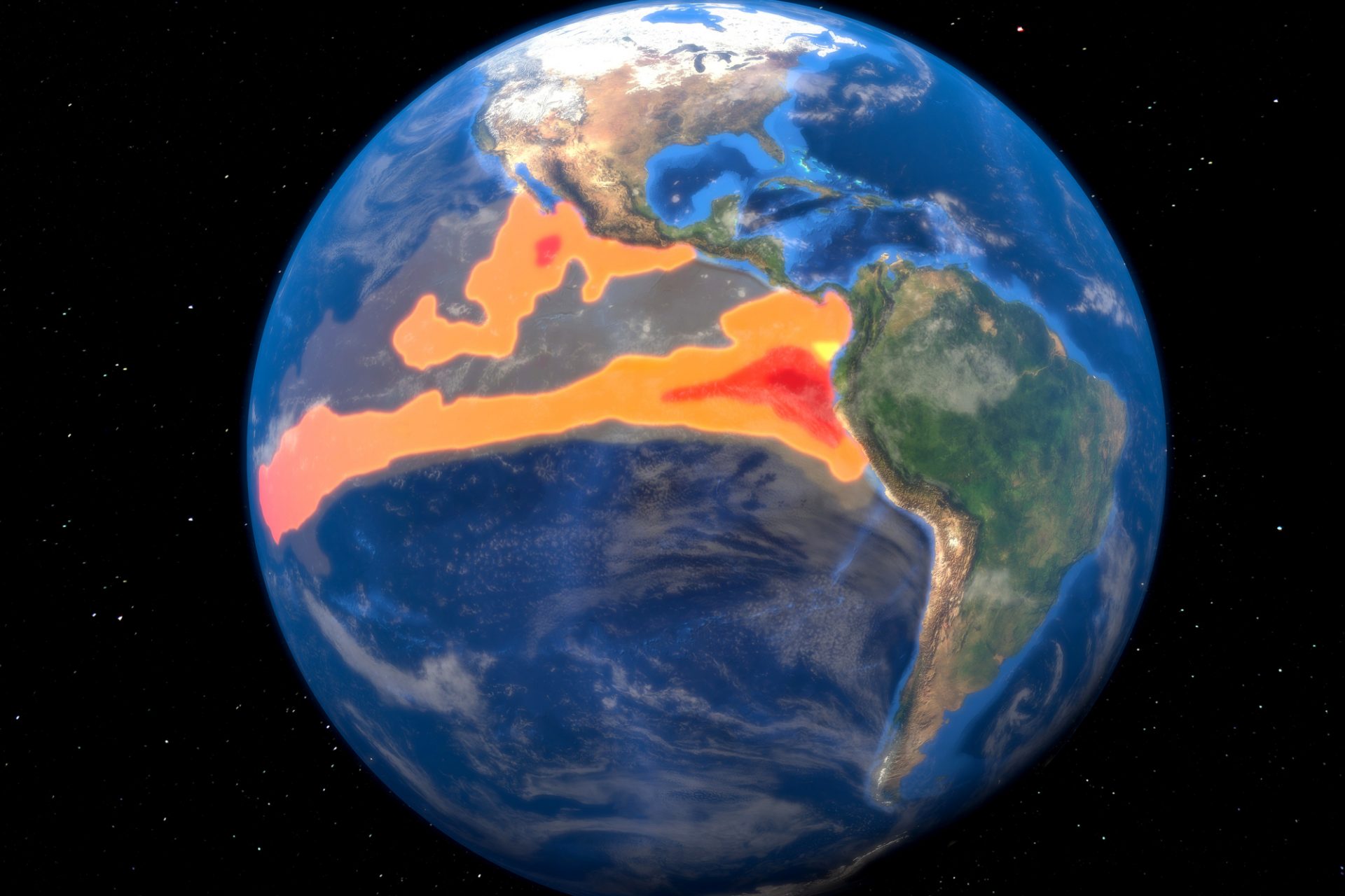
During El Niño, trade winds weaken, and the warm water previously flowing to Asia is pushed back east towards the west coast of North and South America—which in turn affects weather patterns on the two continents.
Photo Credit: Wiki Commons By Fred the Oyster - Own work / derived from NOAA/PMEL/TAO diagrams
“The warmer waters cause the Pacific jet stream to move south of its neutral position,” explained the National Ocean Service. “With this shift, areas in the northern U.S. and Canada are dryer and warmer than usual.”
Dryer than normal winter conditions this year are exactly what officials from the U.S. Climate Prediction Center are forecasting for Canada and the United States, an issue the officials noted in a recent blog post.
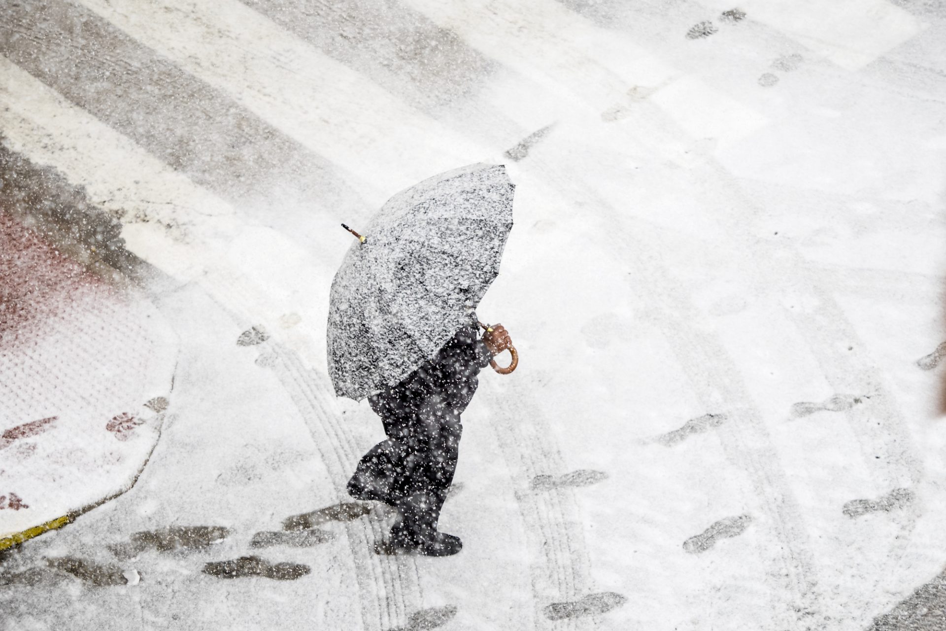
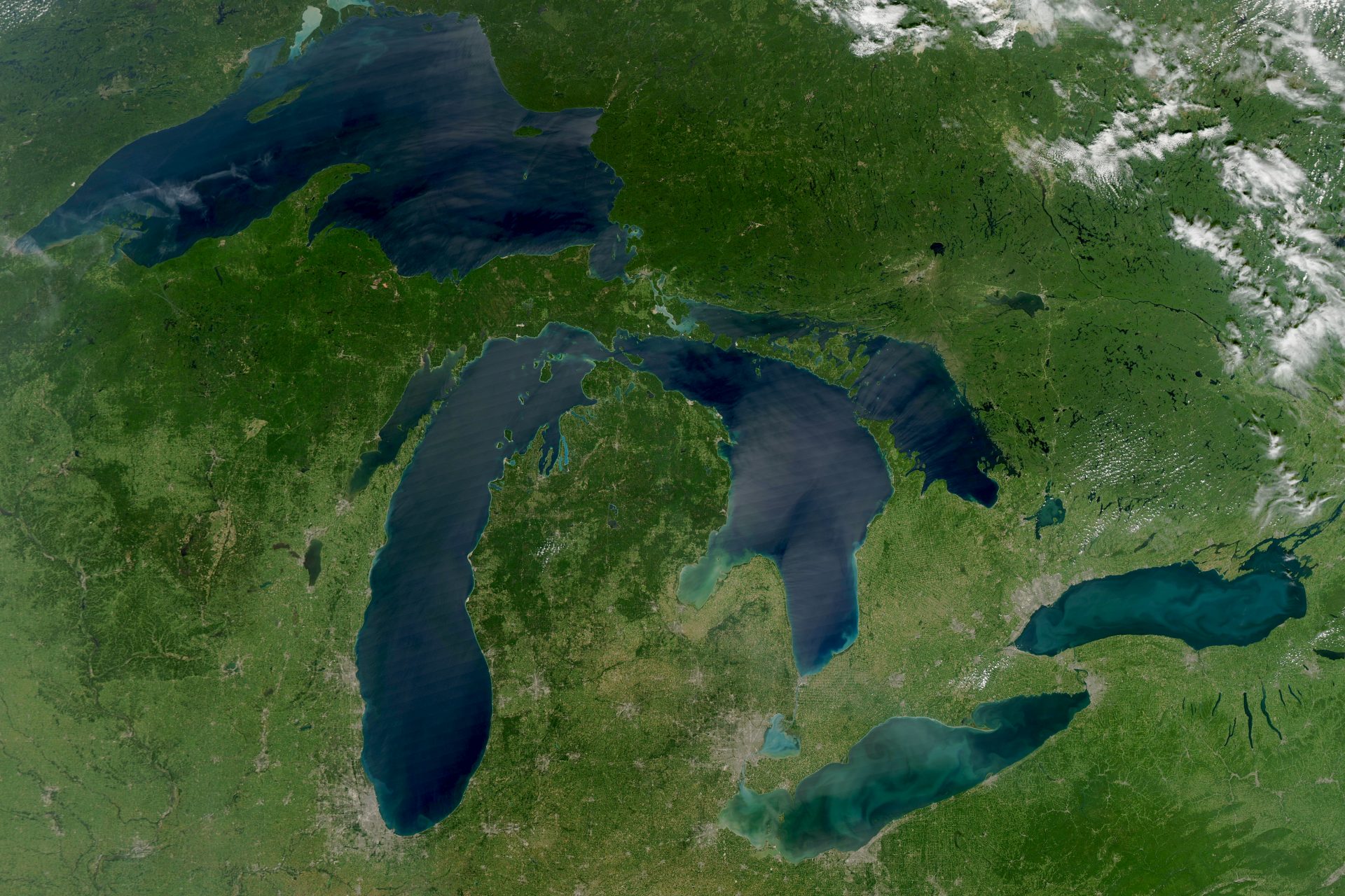
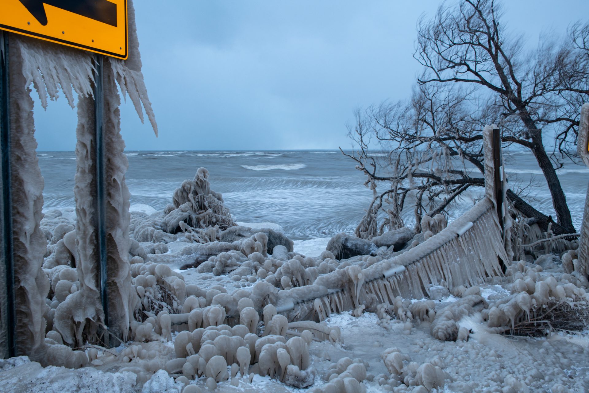
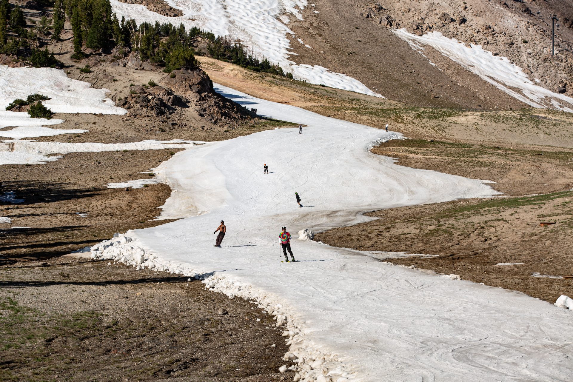
Snowfall across southern Canada and the northern United States was predicted to be far below the average for the 2023/ 2024 winter season. Regions like the Pacific North and Great Lakes will see the biggest impact.
Photo Credit: Wiki Commons By NASA
Analysis by the U.S. The Climate Prediction Center on previous El Niño events revealed that the Pacific Northwest and Great Lakes regions saw roughly 10 to 15 centimeters, or 4 to 6 inches, of less snow during El Niño than under normal climatic conditions.
However, the analysis also showed that during an El Niño event, much of the southern United States experiences snowfall above the average according to Global News, but it is nothing like what the north of the country would experience during a normal year.
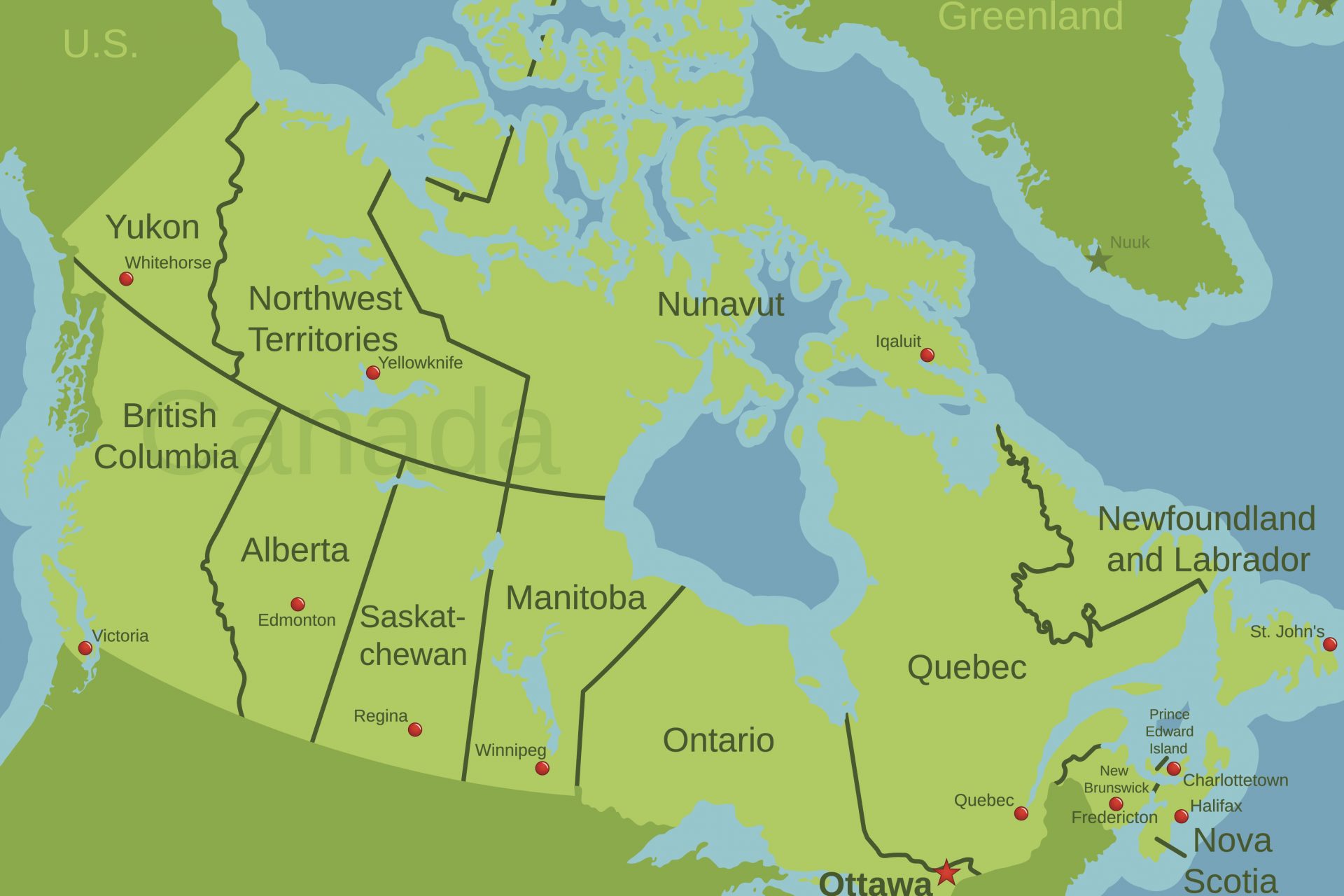
In Canada, the provinces of Manitoba and Saskatchewan are usually unaffected by El Niño but the weather pattern does tend to have a big impact on the rest of the country according to analysis from the Climate Data Store.
Using data provided by the European Union’s Copernicus climate satellite system, the Climate Data Store found that Canada’s northern territories as well as every province in the west and east tend to see far less snowfall than average.
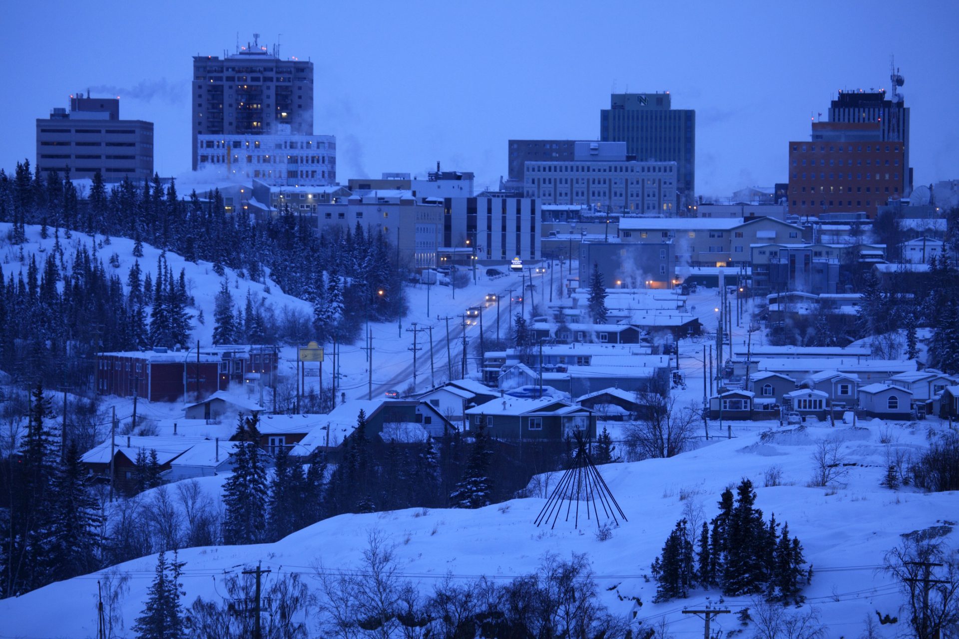
This winter will be no different in Canada. But this isn’t a cause for celebration. While some people say they welcome a milder winter, this also brings dryer weather conditions which pose a significant problem for Canada’s drought-ridden west.
"We had a dry winter last winter, we had a dry spring, we had a dry summer," Terri Lang, a meteorologist at Canada’s Department of Environment and Climate Change, explained to CBC News about the worrying winter conditions.
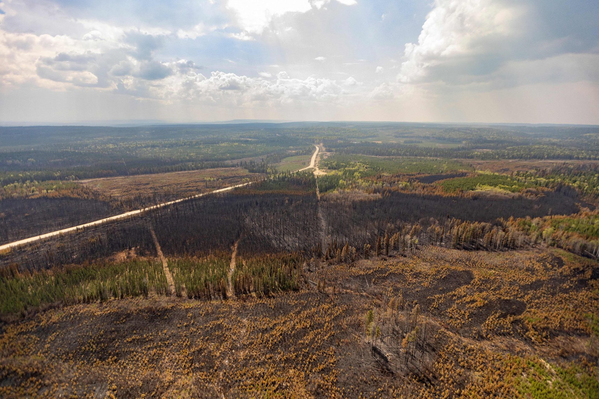
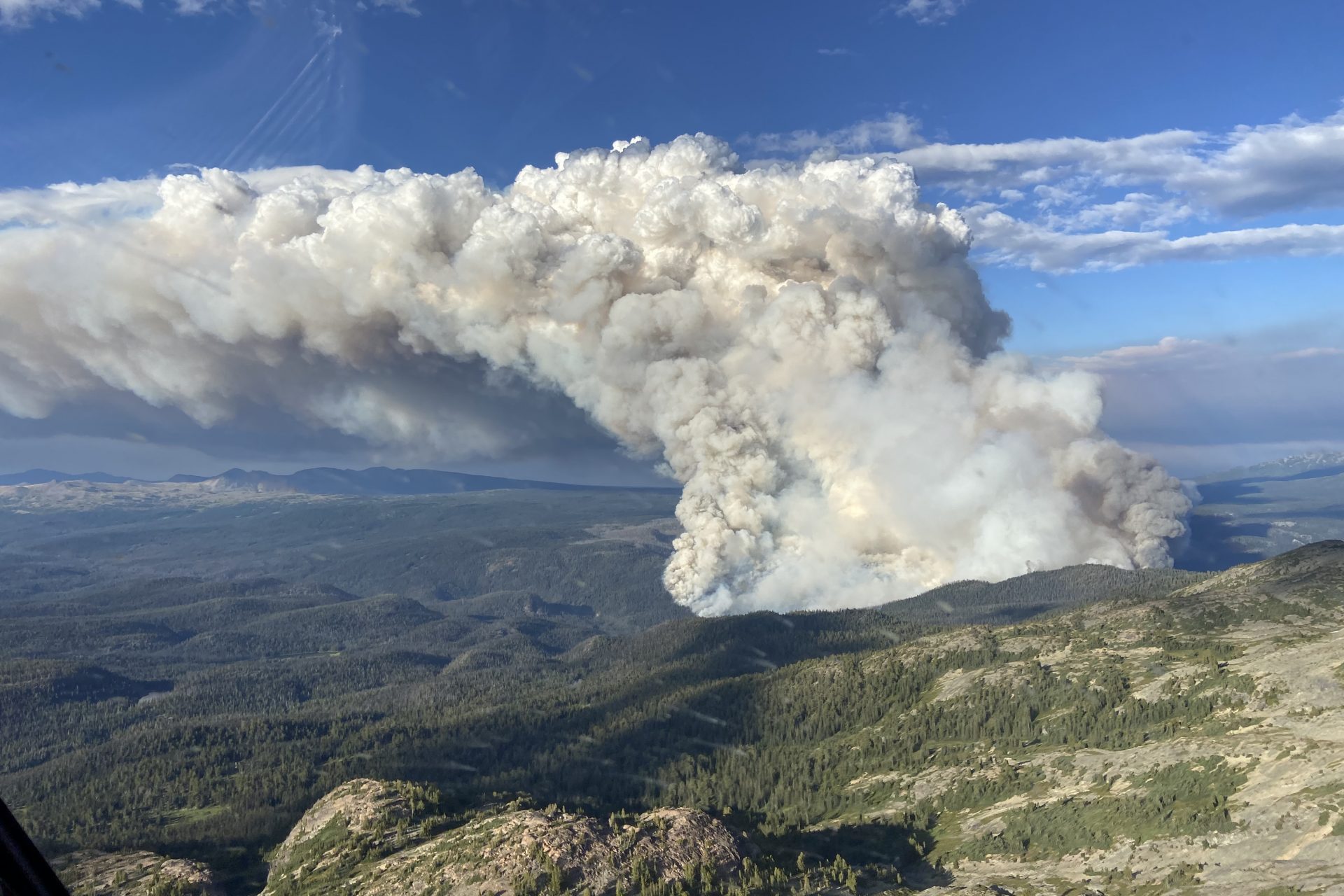
"The whole summer, most of Western Canada was on fire. We went through a dry fall, so coming into another dry winter could be really, really problematic." Lang continued. But this isn’t the only worrying problem.
Director of the National Oceanic and Atmospheric Administration’s (NOAA) Climate Prediction Center David DeWitt told CBC News that this year's El Niño could prove to be stronger than normal, which wouldn’t be good for the summer of 2024.
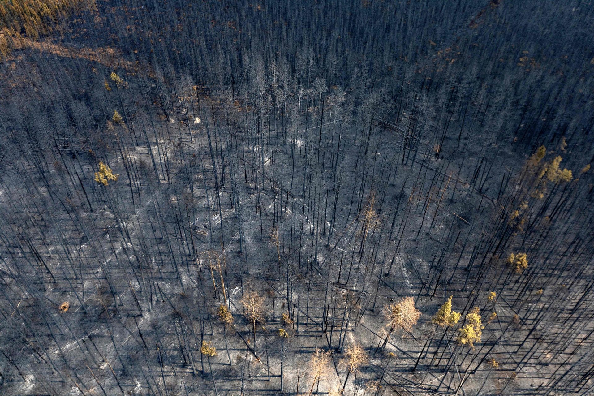
A separate CBC News report noted that there is speculation that this year's El Niño may push temperatures higher in 2024, a situation that could prove disastrous for forest fires in North America following drier conditions of the previous years.
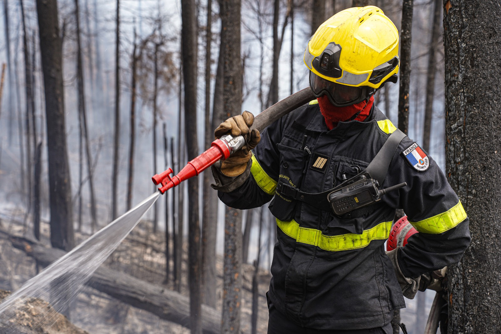
"If you have hotter conditions and not a lot of precipitation, that leads to drought or drier conditions, and then all you need is a spark," explained NOAA climate scientist Tom Di Liberto. "And then you can have these wildfires just go rampant."
More for you
Top Stories


