A new drone will soon help solve one of Antarctica's biggest mysteries
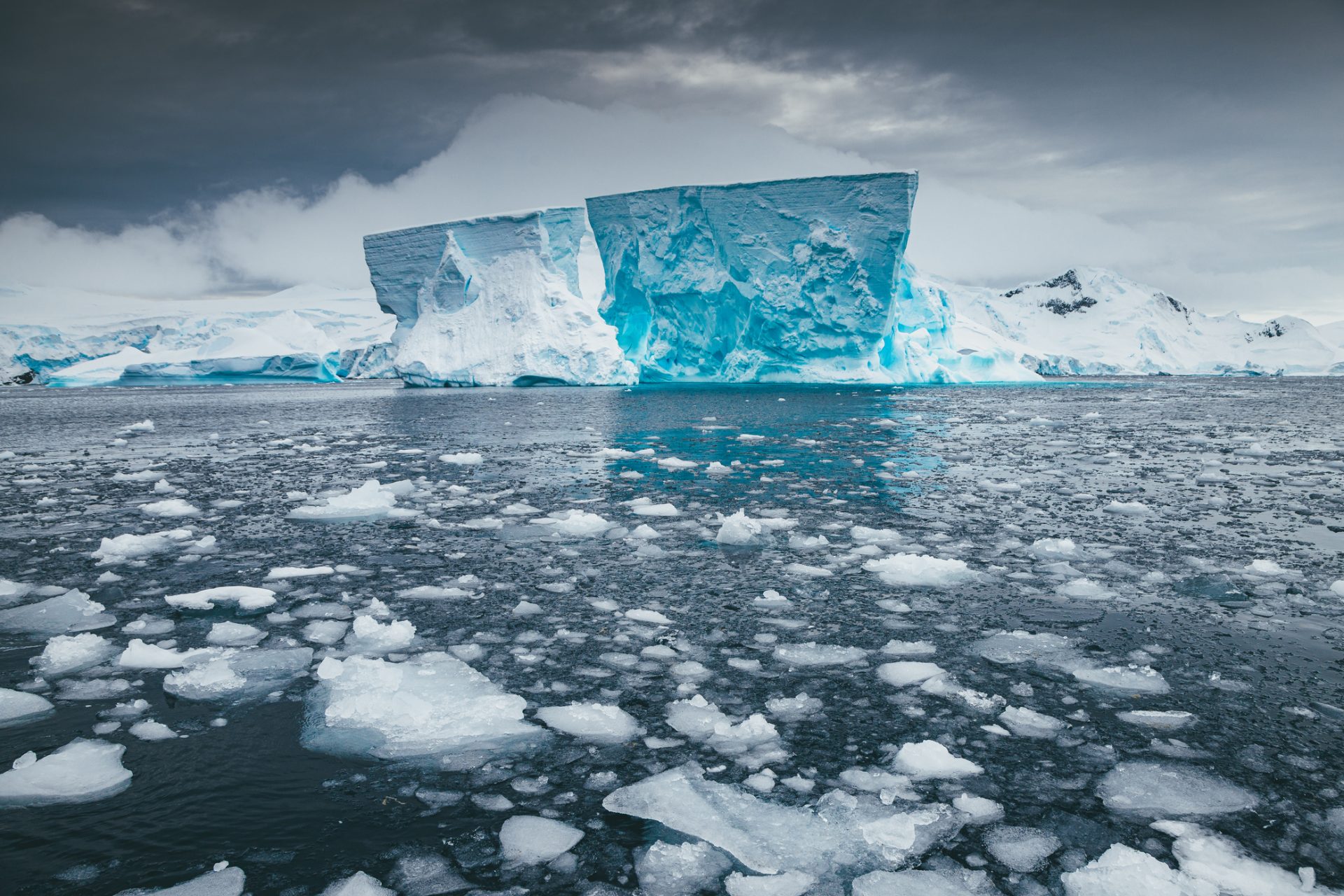
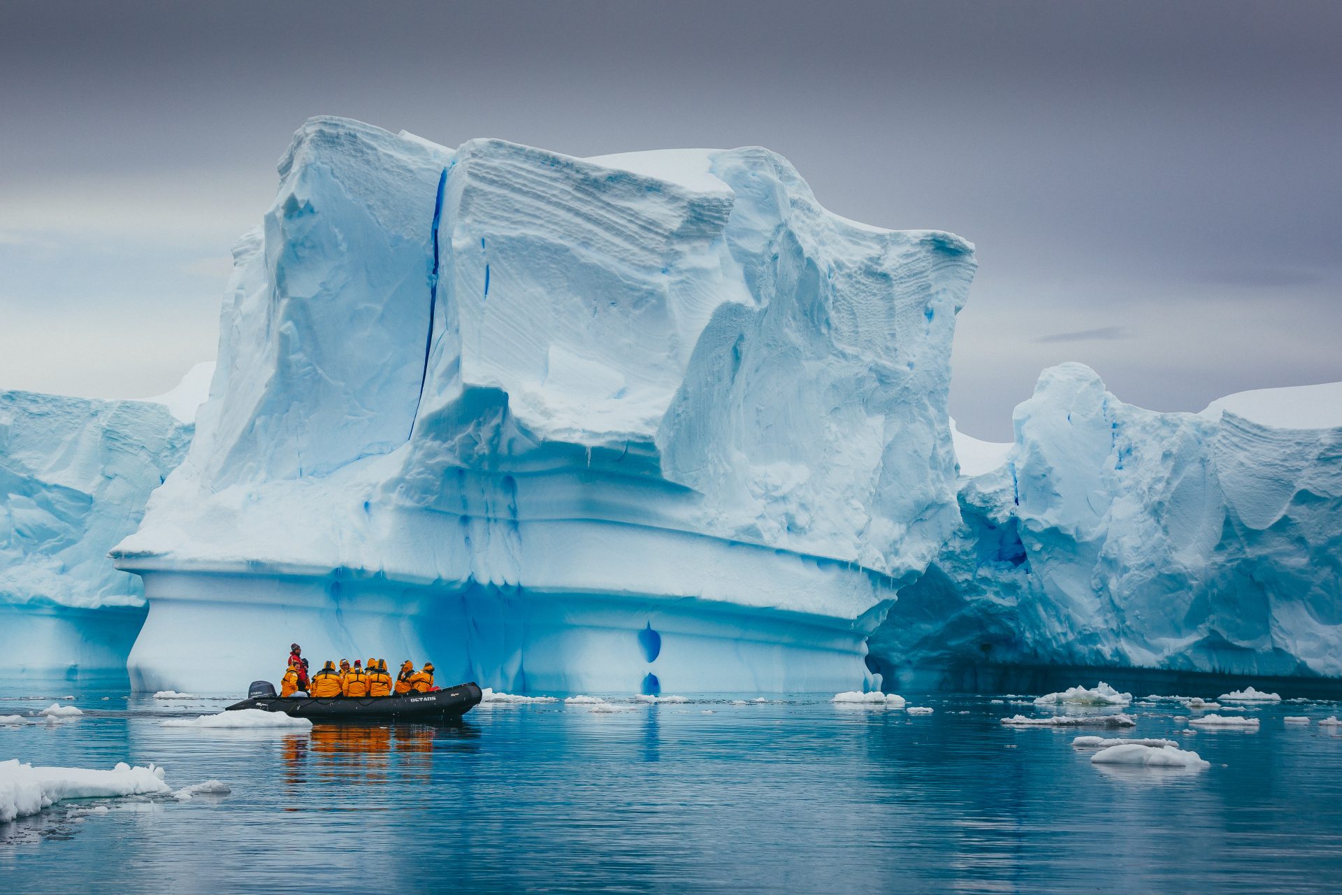
A mysterious phenomenon is going on deep underneath Antarctica and it seems to be changing the way the world's most southern ice sheets are melting. The problem is scientists haven't really known how to study this problem until now.
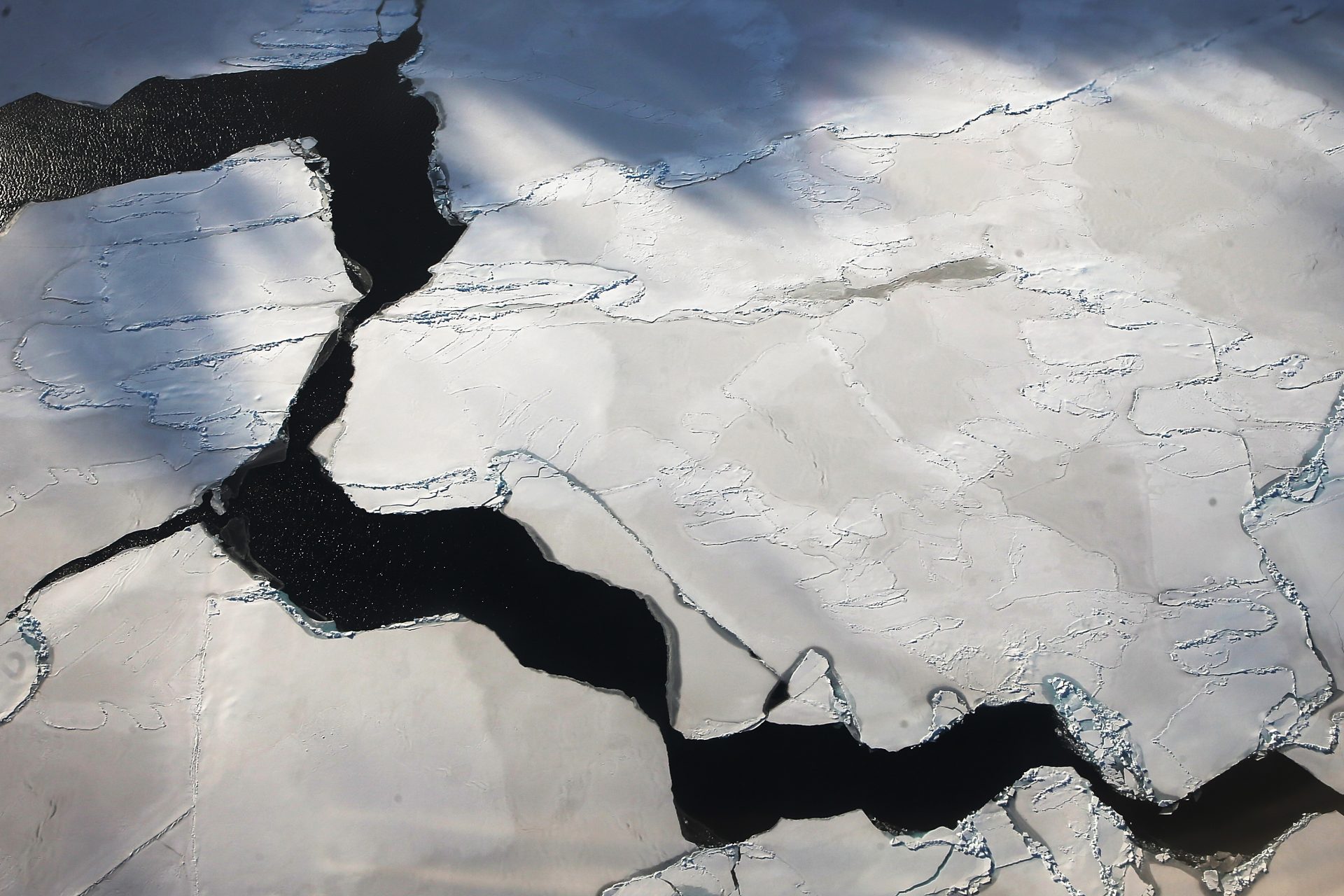
A report from BBC Science Focus Magazine’s Noa Leach explained in October 2023 that water flows and volcanic activity under the ice sheets of Antarctica dictate how the region's ice melts but scientists are more worried about what they can't see: the area's geology.
The geological landscape sitting underneath of Antarctica has the potential to shift how the continent's ice is melting in ways that researchers don’t really understand because of how difficult it is to study the land under the ice.
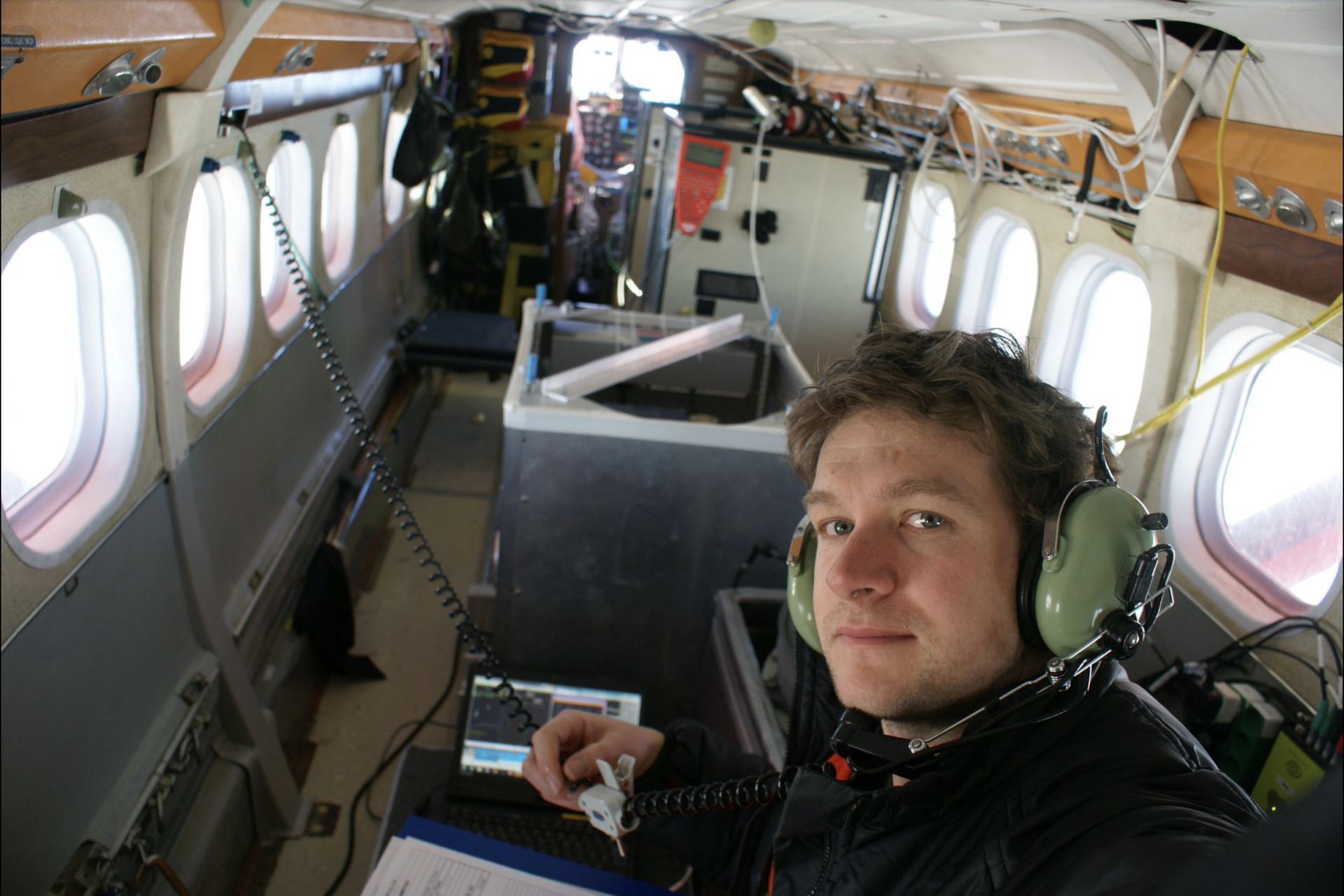
Dr. Tom Jordan is one researcher who has been working to uncover the mysteries of the landscape underneath Antarctica and he's traveled to the continent six times to help reveal the secrets hidden underneath the continent.
Photo Credit: Facebook @BritishAntarcticSurvey
Dr. Jordan has had quite a bit of success so far in his endeavors with one of the researcher's most notable trips leading to the mapping of the ground that’s beneath Antarctica’s most worrisome glacier: the Thwaites Glacier in West Antarctica.
The mapping undertaken by Dr. Jordan and the British Antarctic Survey, revealed that the geology beneath the Thwaites Glacier had less sedimentary rock than geologists had expected according to a review of the work from PhysOrg.
It might not sound like much of a discovery but the finding was big and will help scientists understand how the Thwaites Glacier will continue to melt in the coming decades, which in turn will help researchers with future climate predictions.
"Sediments allow faster flow, like sliding on mud," Dr. Jordan explained according to PhysOrg, adding: "Now we have a map of where the slippery sediments are, we can better predict how the glacier will behave in future as it retreats."
The data was published in the journal Science Advances and in October 2023 Dr. Jordan began to put his know-how on mapping the landscape of Antarctica to work with a new project aimed at using drones to help map more areas of the continent.
“It’s going to be a really exciting project,” Dr. Jordan explained to BBC Science Focus, adding that the new tech would “open so many doors.” But what was so special about the new drone being used by the British Arctic Survey?
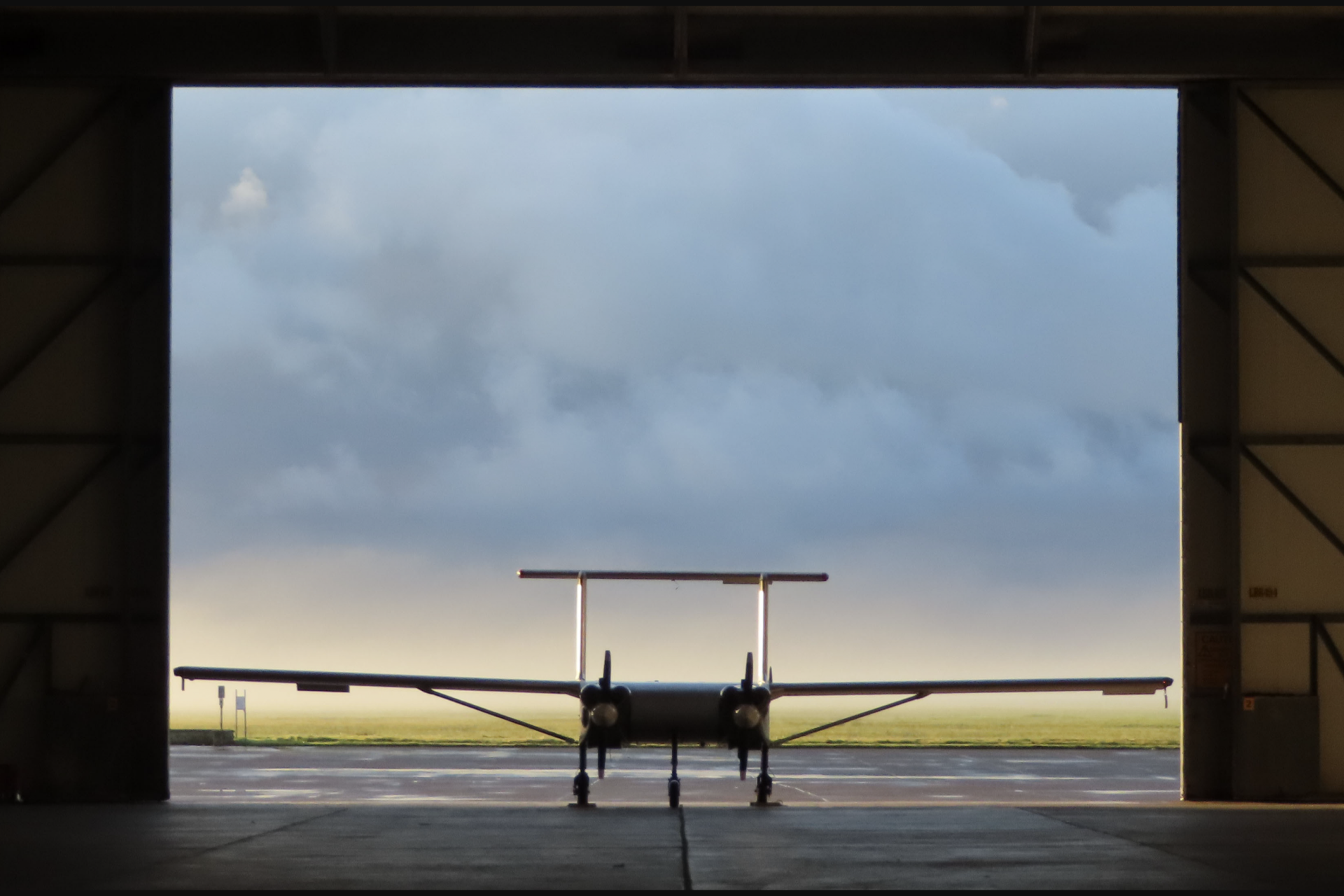
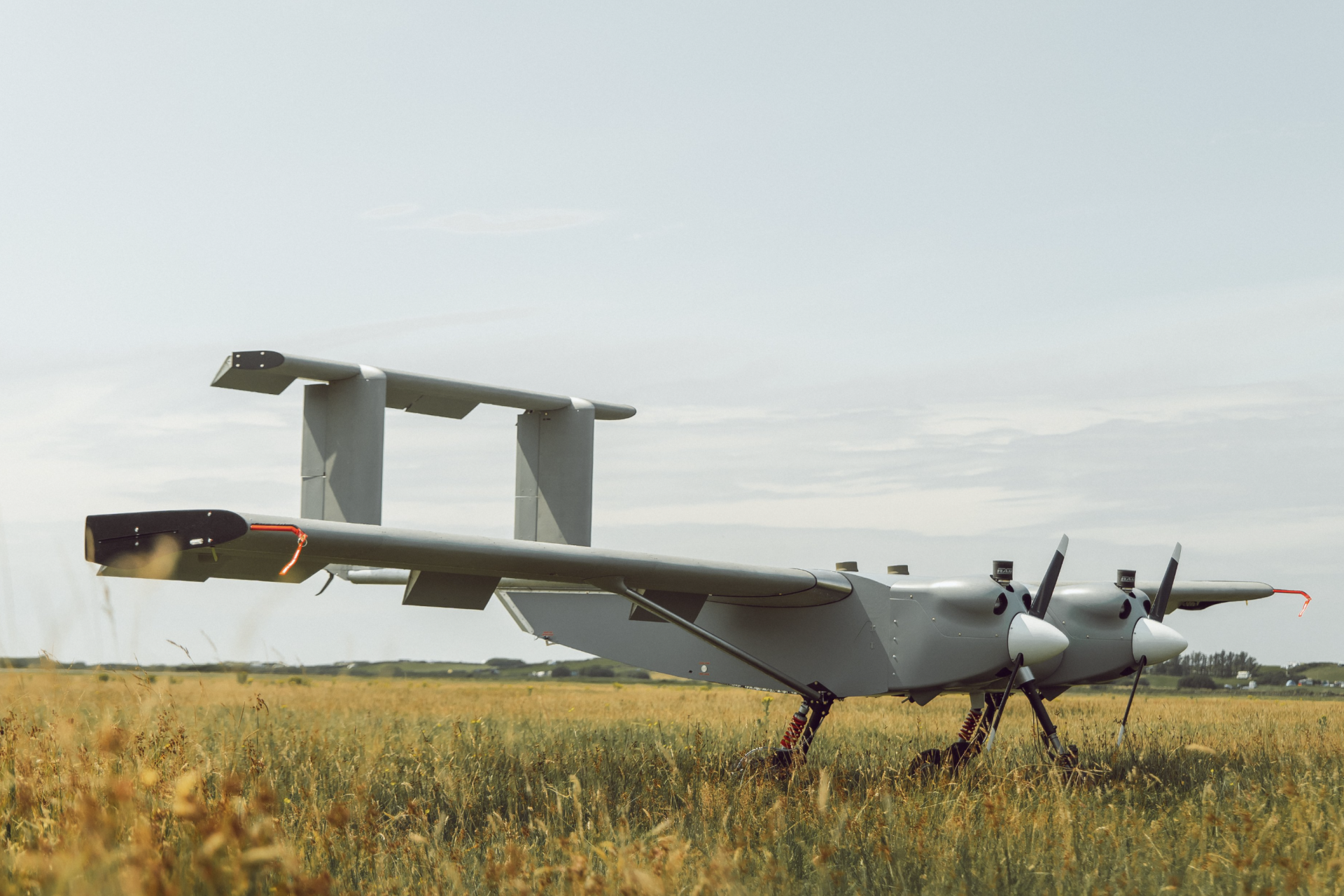
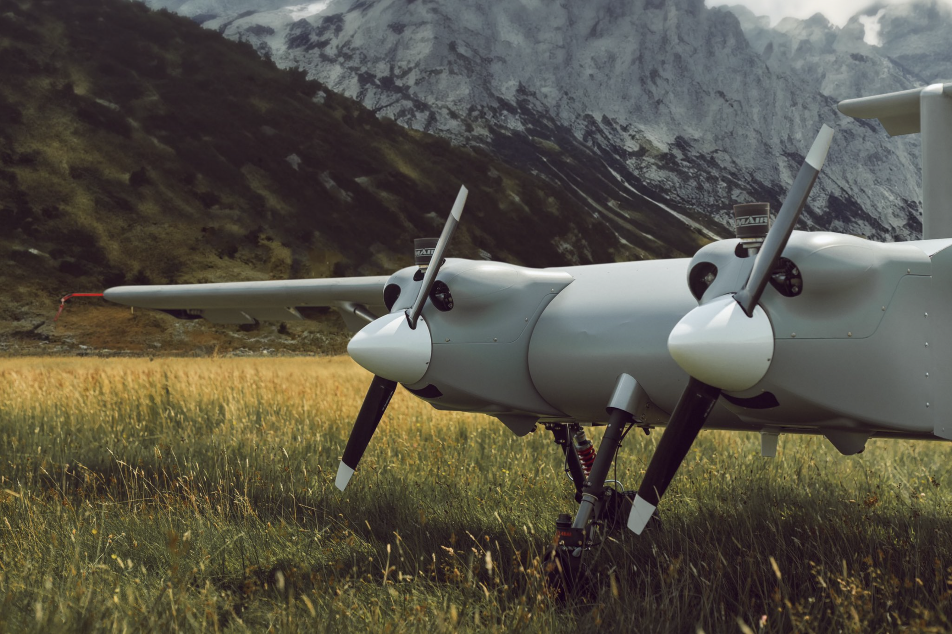
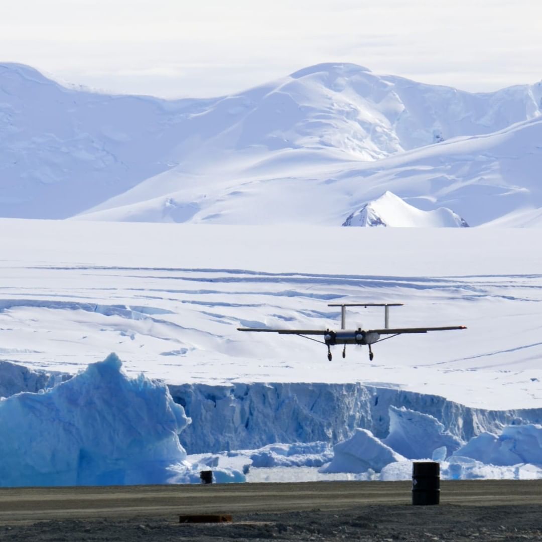
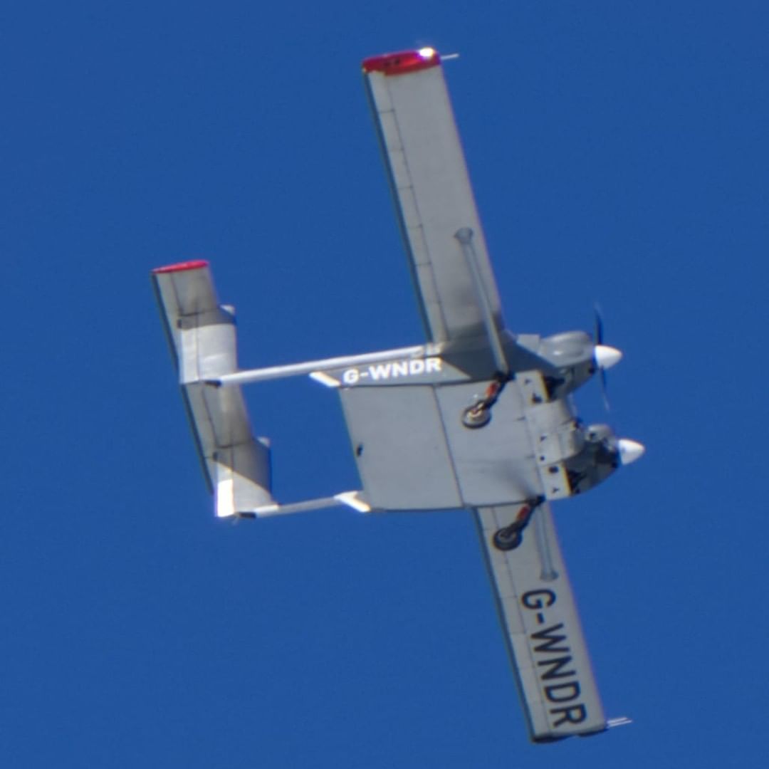
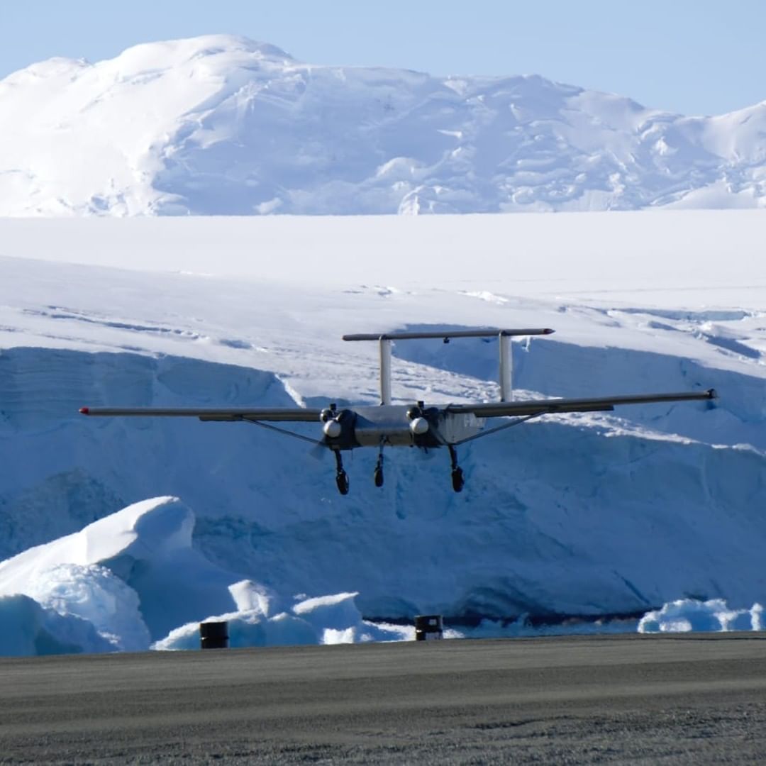
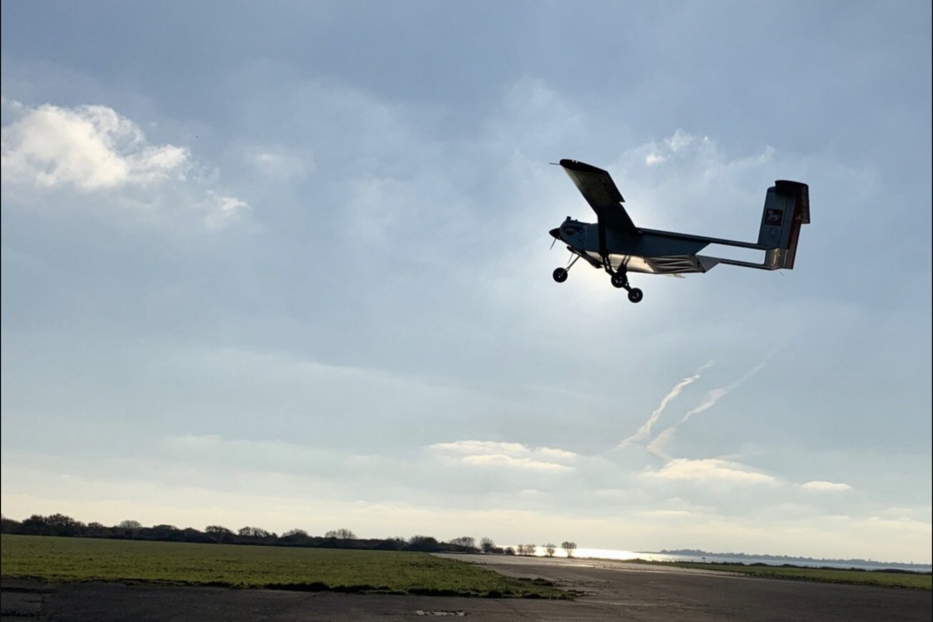
Designed by Windracer, the ULTRA drone is an autonomous aircraft that will be used in the Antarctic which was developed to operate with the continent's harsh climate conditions in mind.
Photo Credit: Twitter @Windracersgroup
The drone has a cargo-carrying capacity of 220 pounds and uses up to 90 percent less fuel than existing aircraft, which is something that is extremely important since Dr. Jordan noted that its fuel costs have prohibited the continent's geological study.
Photo Credit: Twitter @Windracersgroup
“Rather than compromise and do the best that we can with the available resources, it takes away that limit. Being able to do that in more places is really quite exciting,” said Dr. Jordan, who believes the new tech will change the future of scientific monitoring.
Noa Leach noted that the ULTRA will allow geologists and researchers to build a much better map of Antarctica's geology through more comprehensive scanning of what is underneath the ice. But that’s not all.
Photo Credit: Twitter @Windracersgroup
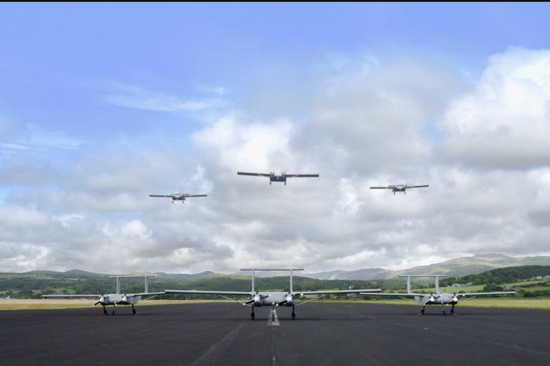
Someday swarms of ULTRA drones under the self-direction of artificial intelligence may be sent on mapping missions all across Antarctica and could provide researchers with an even better understanding of the continent's geology.
Photo Credit: Twitter @Windracersgroup
The potential future the Windracer's ULTRA drone can offer is still quite a ways off but humanity took its first steps toward that future in the first months of 2024 when ULTRA flew its maiden flight on February 22nd.
Photo Credit: Twitter @Windracersgroup
The ULTRA spent a week in the skies over Antarctica and flew for over 720 km, or roughly 450 miles, collecting a wealth of scientific data that the British Antarctic Survey explained could to better understand how the continent is being affected by climate change.
Photo Credit: Twitter @Windracersgroup
“So far so good, everything has very much gone to plan and the Windracers ULTRA has shown that it can robustly gather a range of science data," said Carl Robinson, head of Airborne Survey Technology & UAVs at the British Antarctic Survey.
Photo Credit: Twitter @Windracersgroup
"Our initial flights have been up to 1.5 hours long with even longer missions planned in the next couple of weeks," Robinson added. Once this initial test phase is over, the ULTRA drone will quickly begin its first scientific missions, exploring different aspects of Antarctica's geology.
Photo Credit: Twitter @Windracersgroup
More for you
Top Stories


